Not just many. Literally all flat maps of the Earth try to flatten a globe onto a 2d surface. That is the task of making a flat map representing the Earth.
Every projection from a 3d globe to a flat 2d representation will introduce distortion of some kind. You can get accurate directions, or accurate land areas, or a nice rectangular coordinate grid for latitude and longitude, but you can’t get them all at once.


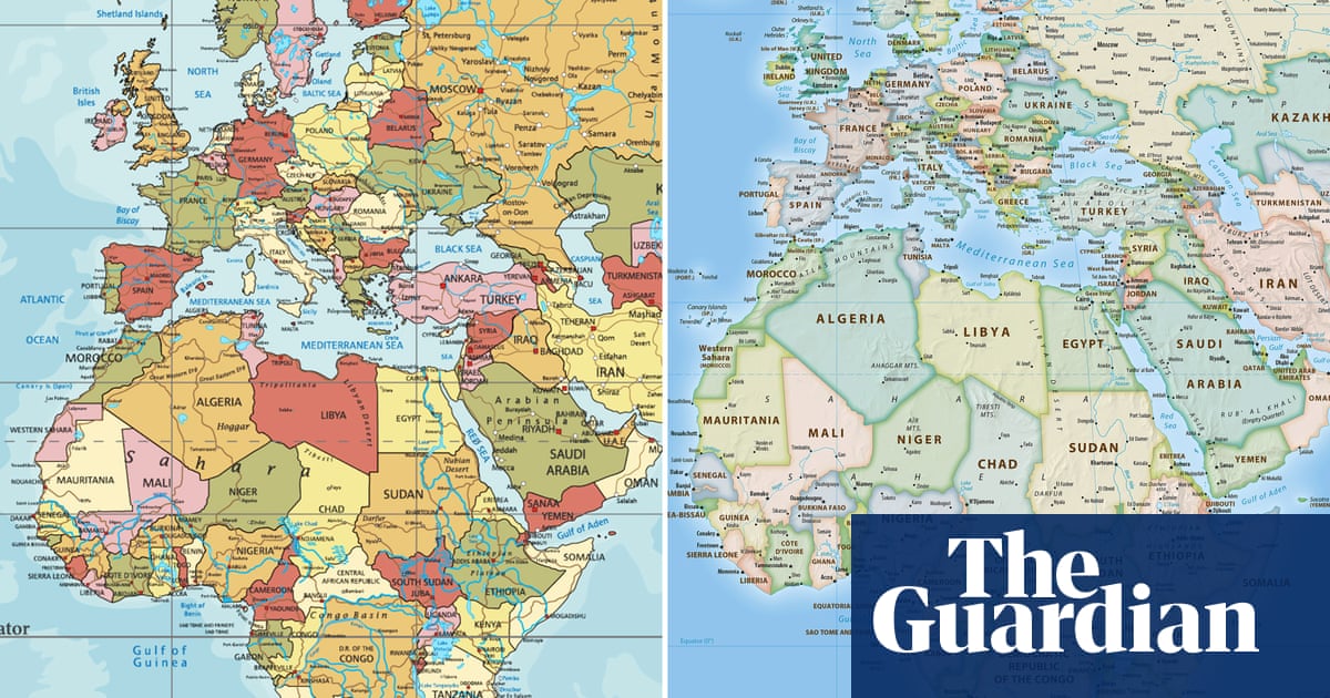
Not just many. Literally all flat maps of the Earth try to flatten a globe onto a 2d surface. That is the task of making a flat map representing the Earth.
Every projection from a 3d globe to a flat 2d representation will introduce distortion of some kind. You can get accurate directions, or accurate land areas, or a nice rectangular coordinate grid for latitude and longitude, but you can’t get them all at once.