On standard flat maps, Greenland often appears around the same size as Africa. Africa is about 14 times larger than Greenland. Countries like Canada and Russia also look much larger than they actually are. I didn’t realize it for a long time either that many flat maps merely tried to flatten a 3D globe onto a 2D surface.
Not just many. Literally all flat maps of the Earth try to flatten a globe onto a 2d surface. That is the task of making a flat map representing the Earth.
Every projection from a 3d globe to a flat 2d representation will introduce distortion of some kind. You can get accurate directions, or accurate land areas, or a nice rectangular coordinate grid for latitude and longitude, but you can’t get them all at once.


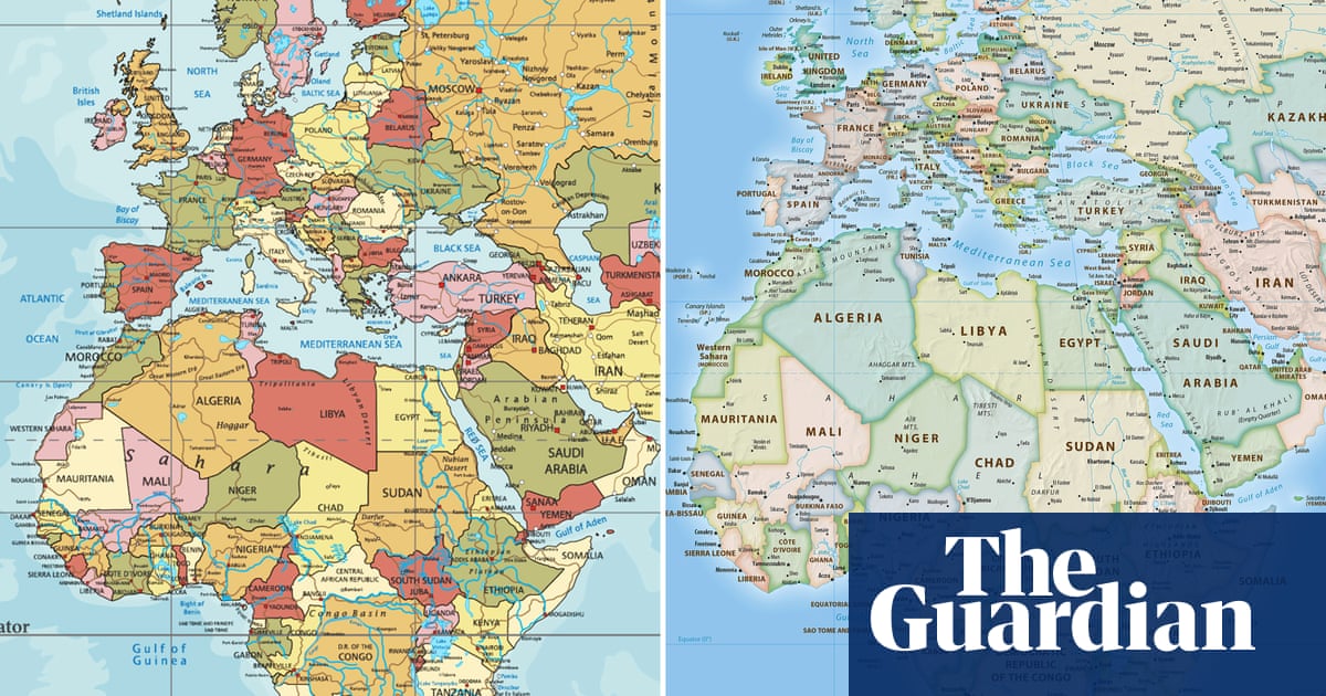
On standard flat maps, Greenland often appears around the same size as Africa. Africa is about 14 times larger than Greenland. Countries like Canada and Russia also look much larger than they actually are. I didn’t realize it for a long time either that many flat maps merely tried to flatten a 3D globe onto a 2D surface.
Not just many. Literally all flat maps of the Earth try to flatten a globe onto a 2d surface. That is the task of making a flat map representing the Earth.
Every projection from a 3d globe to a flat 2d representation will introduce distortion of some kind. You can get accurate directions, or accurate land areas, or a nice rectangular coordinate grid for latitude and longitude, but you can’t get them all at once.